Do you know what DOG ESSENTIALS you are missing out? Find out now!



Zack Keithy, our author, is a certified veterinarian technician (UC Blue Ash) for over 6 years (contact him here). The articles written here are based on his expertise and experience, combined with a review by our expert vet reviewers including Dr M. Tarantino. Learn more about us here.
Emergency responders successfully located a lost hiker and their dog before escorting them to safety off Cushetunk Mountain on Friday evening.
The search and rescue operation took place at Cushetunk Mountain Preserve in Readington Township, New Jersey 08889, United States. RNJ News reported on the coordinated search effort and safe recovery on October 18, 2026.
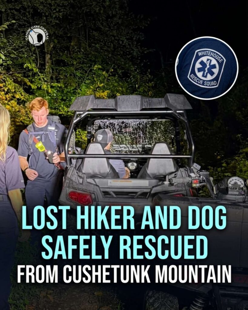
Dispatchers received a call at approximately 6:15 p.m. on Friday, October 16, reporting a lost individual on the mountain trails. In response, the Whitehouse Rescue Squad, Whitehouse Fire Company, and Readington Township Police Department launched a joint search operation. Responders utilized police all-terrain vehicles (ATVs) and specialized rescue squad equipment to access the mountain terrain.
To pinpoint the hiker’s location, the Hunterdon County Department of Public Safety helped identify precise GPS coordinates, enabling ground crews to narrow their search area. Using the CalTopo Search & Rescue navigation application, rescue teams navigated the trails and hiked roughly half a mile on foot to reach the missing individual.
Upon arrival, emergency personnel confirmed that the hiker and their dog were uninjured and not in distress. Emergency personnel then safely guided both the individual and the dog down the mountain. The Whitehouse Rescue Squad praised the seamless coordination among local agencies for the successful outcome.
My thoughts:
- Modern mapping tools like CalTopo provide search and rescue teams with precise navigation, drastically reducing response times during evening operations.
- Coordinated multi-agency dispatch protocols ensure specialized off-road equipment is deployed quickly when emergencies occur on rugged trails.
- Utilizing GPS coordinate tracking through public safety dispatch allows search crews to pinpoint disoriented hikers before conditions worsen.
- Escorting lost pets alongside their owners helps maintain calm during night rescues in dense wooded areas.
- Carrying fully charged mobile devices and emergency trail navigation apps is vital for anyone hiking near dusk.
- Routine training with specialized off-road vehicles ensures first responders can navigate difficult mountain terrain efficiently.
Source: RNJ News and Whitehouse Rescue Squad


